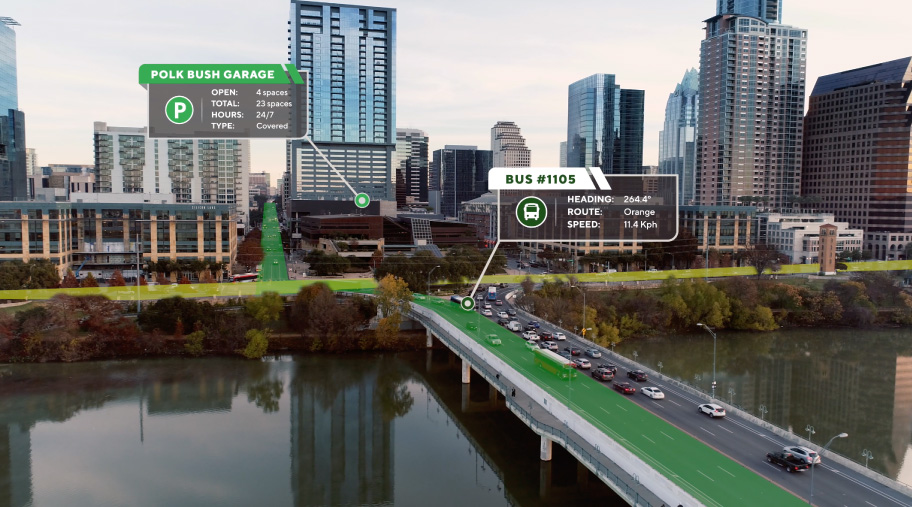
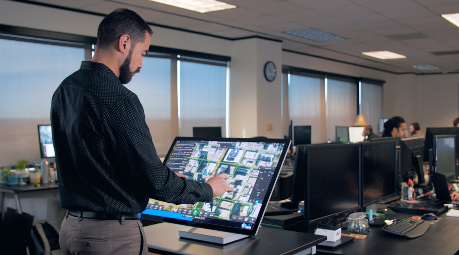
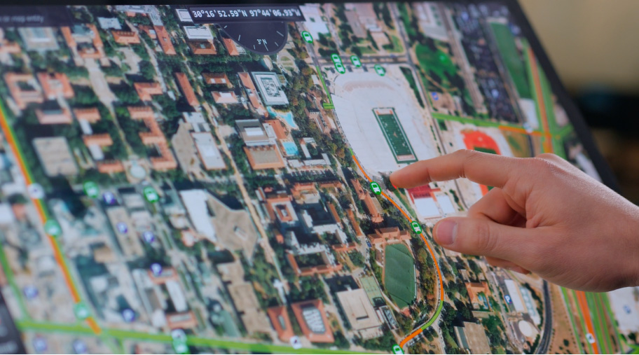
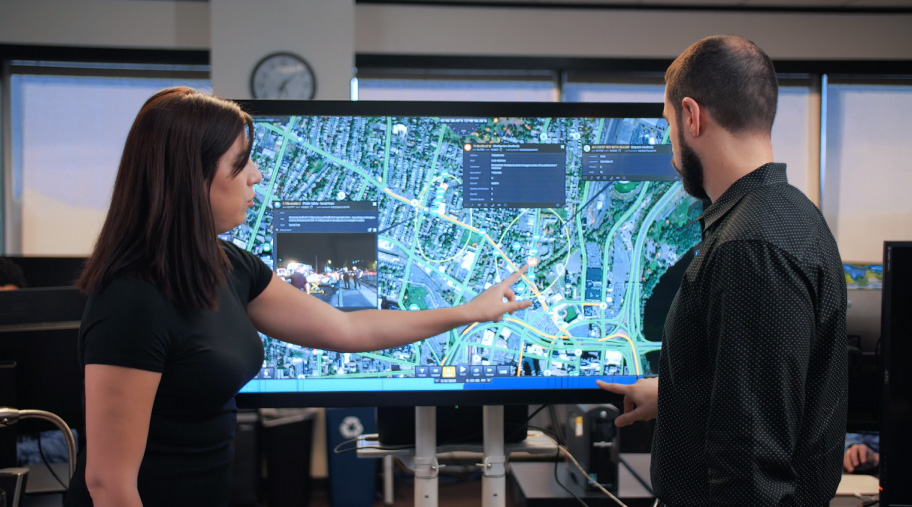
Live Earth is geospatial mapping software that is incredibly powerful. The dynamic mapping software is being used by cities, law enforcement agencies, stadiums and more to get a holistic view of all of the moving parts of a given location on a single pane of glass. Framewave created a number of videos to describe what the software does and contextualize its many applications. These videos were shot all across Austin, Texas and utilized extensive drone footage that were then animated over to give a sense of what the software does in a live action environment.


